Google Maps for Teaching and Learning
Hello virtual classmates!
One more additional blog and we will be changing topics. Do you already know which your next focused topic will be? I hope you are thinking about it in the middle of all the things you are doing at the same time. But again, thanks for following my blog and making good comments.
This week, I will be focused on Google Maps for teaching and learning. Do you happen to have experience teaching how to use Google Maps?
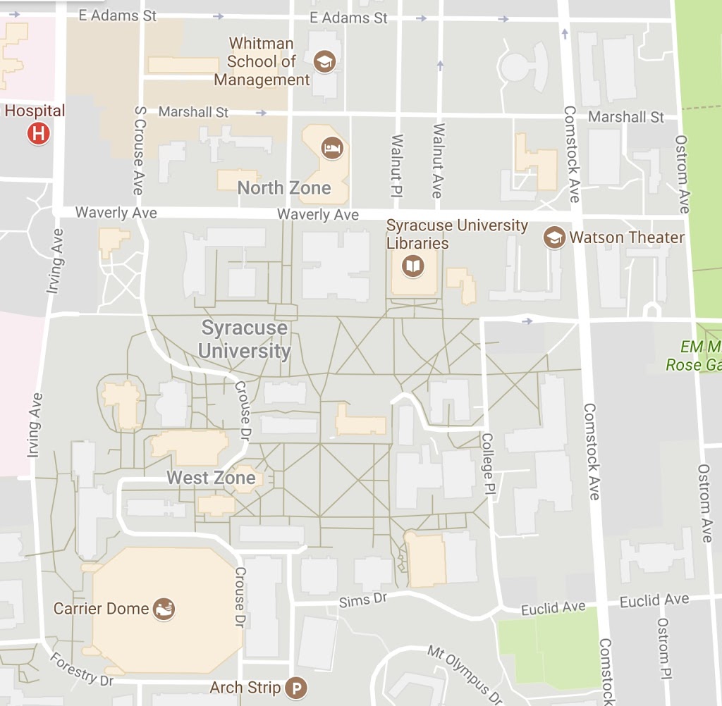
1- Which Google map view is this one? _____________
Map
2- What about this one? ________________
Map
3- Any ideas for this other? __________________
Well, if you answered 1- map view, 2- Satellite 2D, and 3- Satellite 3D you passed the test. ?
I believe that Google Maps is a spectacular app that students should learn how to use. From learning what is around in their communities to “map down” their home-school and the school-home way is a very important visual content of their daily routines and the places they frequent. We, educators and parents, always talk about what do they do, but rarely the question is related to the places where they did it. Many times you ask a student where that park they visited last weekend is and they have no clue. We’ll lucky if they extend their hands in the air and say “over there.”
Nowadays that many children enjoy the use of technology devices, a good way to keep them engage with any trip is to ask them to follow the map during the way. Not in the way we use it as a guide the get to the place (GPS), but to see what other places are the way, how many stop lights, stops or stops all way, other similar routes, other places of their interest, and more. Doing this, children have the opportunity to acquire other knowledge and keep communication on fire by asking questions back and forth with others on the trip.
In what other ways would children use Google Maps?
My adult ESL learners by contrast use Google maps to see important places such as hospitals, clinics, bus stops, government offices they have to go. This visual input of the roadmap, reference points and the actual face of the destination place is precious. Students that are new in the city and have limited English skills are usually challenged by not being able to communicate in case they get lost. GPS is not enough, it needs to have the image somehow in their minds. Google Maps allow them to be prepared and get to places by walking, bus or car safe.
Now can somebody tell me if Google Maps challenges in any way those individuals with disabilities?
How can a visually impaired person be benefit by using Google Maps? Is the screen reader, in this case, a solution?
Here are some resources for you:
http://www.thethinkingstick.com/10-ways-to-use-google-maps-in-the-classroom/
https://www.edutopia.org/discussion/engaging-students-through-google-maps
http://maps.google.com/help/maps/education/
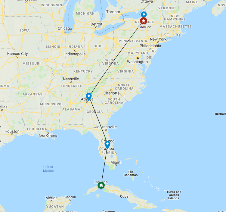
Cuba-Us Map
Please, post your thought. Thank you.
–Kennia
17 Responses
Great blog post, Kennia! I love how you incorporated a quiz for us, and then talked about ways that you could use Google Maps for your ESL students. And you raise an important question about making sure that this tool is accessible for all students. I don't have a simple answer for that, so I'd love to hear what others might have to contribute.
Thank you John! I need to admit that Google Maps got me by surprised. I realized that I was just using a very small portion of it with my ESL adults learners and its possibilities are endless. This blog assignment is helping to open doors that I never thought they even existed. I feel like technology is a bigger monster (a good one) than I could imagine.
I hope that teachers and instructors keep with the pace that technology is forcing us to have in order to use what is best for their students.
Hi Kennia, I am much fond of Google maps. I utterly believe that it is the best app to find your way at any corner of the world. As far as my experience tells me, Google Maps do come with a digital voice feature that gives you directions on the way. Therefore, physically disable persons can benefit from it. Thanks.
Hi Kennia, I use Google map with my students to "fly" and visit different places in Israel, but I didn't know about My Map. Thanks again!
Hi Jing Li! In fact, Google Maps have the abilities of voice-guide destinations as you said. But, how do you think this can be use in instructional setting? Let's keep thinking. Thank you for your input.
Hello Micahal! thank you for visiting my blog. I didn't know about My Maps until I explore deeper Google Maps possibilities to write something meaningful. I was amazed by its capabilities and I am definitely using "my maps" in future instructions.
Sorry, it went too fast. I hope you have time to explore it too and you can add some more to you "fly" lessons in a near future. Thanks again.
This is an awesome post! I can't lie though I missed all three on the quiz!
Google maps is a very effective way for new students to navigate around campus. The one point you made that got my attention was the ability to make it user friendly with those who have a disability. I'm sure google has thought about this and either have or are working a product for that.
Hi Adam! thank you for your comment. I know that Google Maps has, for everybody but specially for individuals with disabilities, few features that help them to navigate easily. Speech recognition of addresses and voice-guidance as Jing Li was mentioning above, are the ones I know and have used. There may be others, I don't really know. I need to explore some more.
Hi Kennia,
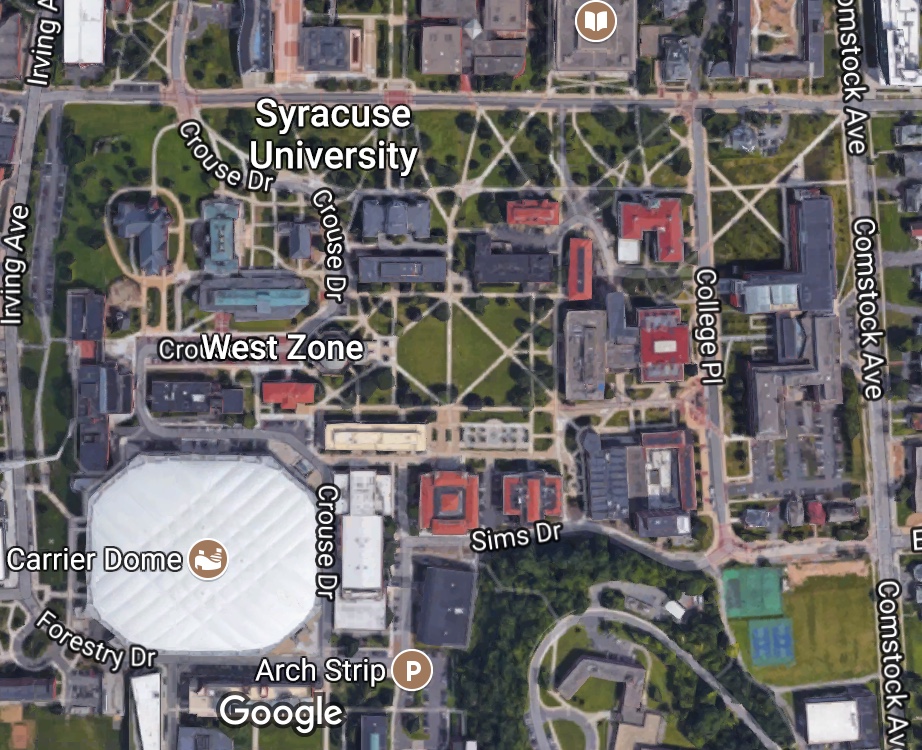
I really like the group discussion that you facilitate this week, so I decided to visit your blog too. Not surprisingly, I like your blog a lot, it provide advanced idea about using Google tools in education, and the example is also close to our life (like the Syracuse University map) , which make your point easier to understand!
I'm really looking forward to read your blog at the rest half semester, hope you can contribute more interesting idea!!! 😉
Zhengqiao Chen
Good afternoon Kennia, thank you so much for your informative post on Google Maps. My phone is currently damaged right now so I cannot use Google Maps, but before the accident this was the most reliable application for directions for me. Thank you for the specific example you provided us with here at Syracuse University!
This is a very nice surprise, Zhengqiao Chen! As my grandma used to say, "you never know when what you do impact someone." So, thank you very much for your positive reinforcement and challenge to continue working hard. I hope that I can fulfill your expectations and the other too. To tell you the truth, I never blogged before, and even though it hasn't been a very easy semester, I am enjoying what I'm learning so much! I hope that you are enjoying it too.
Jose! thank you for your input. I hope that your phone gets fixed soon. And yes, having Google map really makes a difference. I have been living here in Syracuse for a very long time and I didn't know how to go around in SU campus. Can you imagine! But having Google by my side, or better say, in my hands I don't feel lost in this big and confusing side of the city. I hope you continue visiting my blog. Thank you again.
Wonderful work! This is the type of information that should be shared around the net. Shame on Google for not positioning this post higher! Come on over and visit my site . Thanks =)
I loved your post.Thanks Again. Want more.
Thank you ever so for you article.Really thank you! Much obliged.
I appreciate you sharing this blog post.Really looking forward to read more. Great.